
Highway in the sky
Drone Corridors and Air Taxi
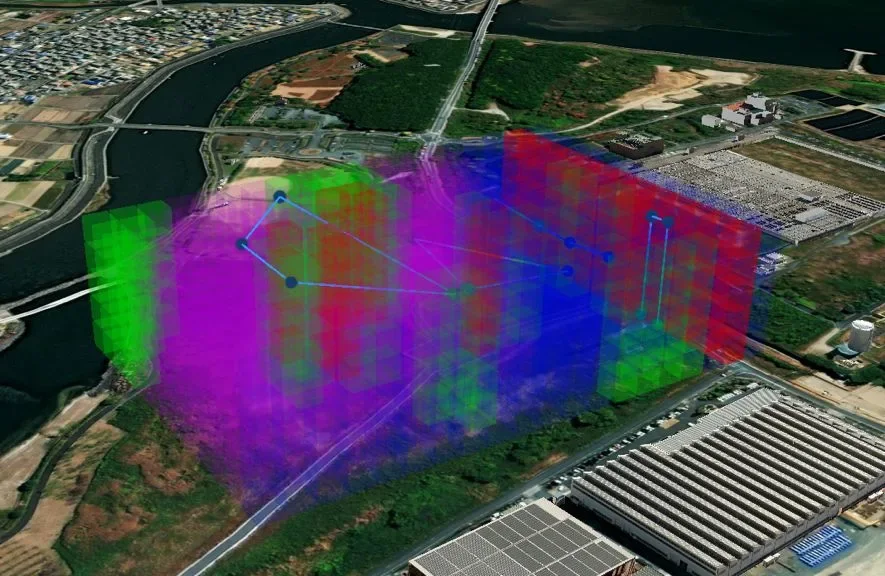
The world's first licensed drone corridor, with rules established together with the Japanese government. Drones use it like a toll highway in the sky, and the same technology now designs air taxi routes for dense cities.
- 2025
- Corridor opened
- 300 km
- Corridor length
- 9
- Locations in Japan
Powered by Constella
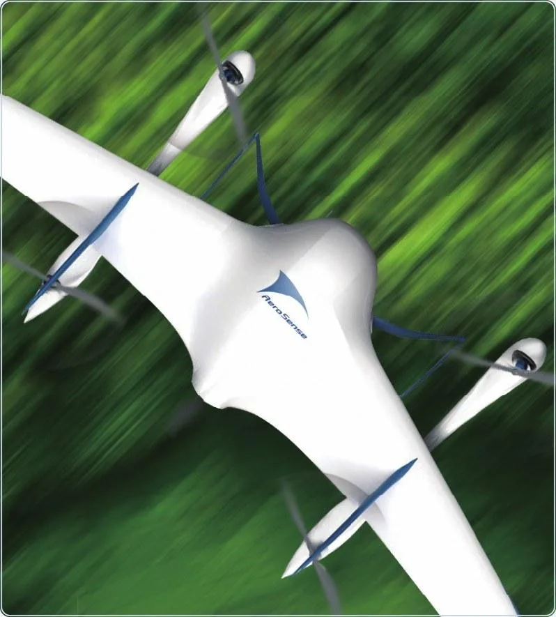
The world's first drone corridor license
Constella holds a drone corridor license under rules and regulations established with the Japanese government. Like a highway, every drone pays a toll to use the corridor.
The corridor is an outcome of the Digital Infrastructure Development Project for Industrial DX implemented by NEDO, and was featured on TV Tokyo's World Business Satellite.

Use case
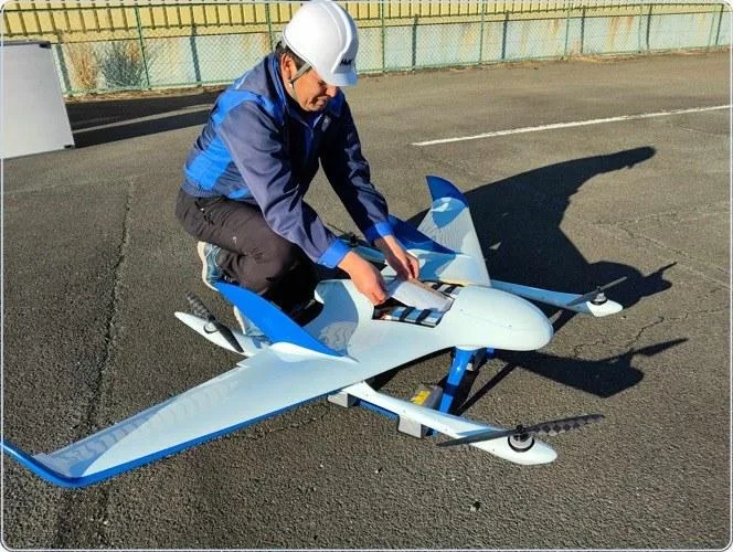
In service: medicine delivery in Hamamatsu
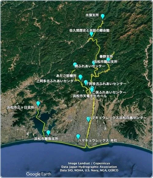
Japan's first medicine delivery via a drone corridor connects clinics, pharmacies and care centers across mountainous Tenryu Ward, on routes from 11 km to 44 km.
Partners include Atago Clinic, Koide Eye Clinic, Haruno Care Center, Kusuri Tokaido Pharmacy and the Shizuoka Prefectural Pharmaceutical Association.

In progress with the Japanese government
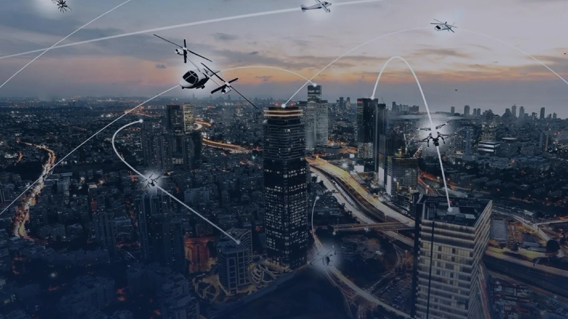
Flight corridor design for air taxis
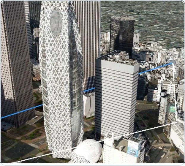
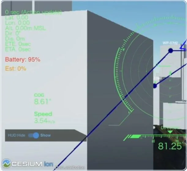
Trajectory is designing safe air taxi routes through busy city centers, modeling every building and structure in 4D so routes stay clear of obstacles and conflicting traffic.
In 2026 Trajectory is developing air taxi flight paths together with the Cabinet Office and Japan Airlines.
Recommended fleet
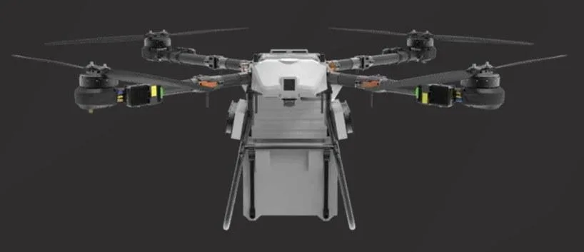
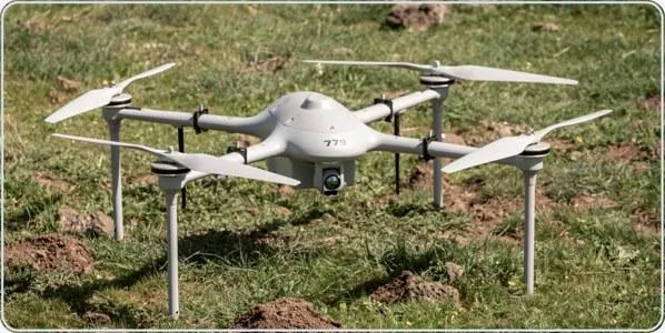
Aircraft for this solution.
Bring proven Japanese drone technology to your operation.
Tell us about your site, airspace or mission. Our team will design a solution around it.